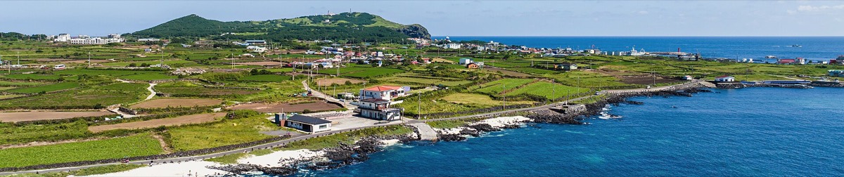
 Photo: Jeju Film Commission · KOGL 1
The first two routes of the Olle trail in one map, one colour each: Route 1 from Siheung-ri over the Malmi and Al oreums along the Jongdal and Seongsan coast to Gwangchigi Beach, 14.9 km, and Route 1-1, the 11.3 km loop of Udo island from Cheonjin Port past the coral-sand beach, the lighthouse and Hagosudong Beach. Stamps, every toilet and first-aid kit, and checked restaurants and sea-view cafés pinned.
- Udo ferry from Seongsan Port: times and tickets
Ferries run every 30 minutes from Seongsan Port to Cheonjin or Hau-mokdong Port, 15 minutes across. First boat out about 08:00, first boat back from Udo about 07:00. Last boat back 18:30 in summer, about 17:00 from November to February. Adult return fare about ₩11,000 including the park fee; fill in two boarding forms, one each way, with your ID. Boats stop in high wind, so check on the day: Seongsan office 064-782-5671.
Seongsan–Udo ferry pattern for 2026 from operator and traveller reports; confirm the last boat on the day. Checked October 2026.
- Naver Map is more accurate for navigation in Korea. Each location has the link.
https://www.google.com/maps/d/viewer?mid=1RGT7_JFASnnB4euajgRTSGrM7CVMjC0