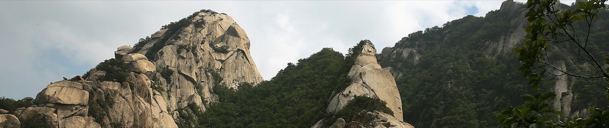
 Photo: Korea.net / KOCIS · CC BY-SA 2.0
Trails 1 to 3 of the path that circles Bukhansan, from the Uiryeong-gil entrance in Ui-dong over the Pine Forest Path, the Pilgrimage Path past the April 19 cemetery and the White Cloud Path to the Bukhansan Eco Forest. 9.3 km, one colour per trail, with public toilets, restaurants and view cafés pinned.
- Naver Map is more accurate for navigation in Korea. Each location has the link.
https://www.google.com/maps/d/viewer?mid=1hKTShjnYqc2Vq4R1aCOynVVpxKte1Is